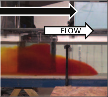
Data collected and processed by H. Ismail et al during density current confluence experiments at the University of South Carolina Hydraulics Lab (2013-2015). In all files, x, y, and z denote down-stream, cross-channel, and vertical coordinates, respectively. The origin is the upstream junction point on the flume bed. u and v denote velocity in the x and y directions, respectively. U and H are depth-averaged velocity and current thickness, respectively.
"vertical-profiles-u.xlsx" contains down-stream (u) velocity versus distance from the bed at 9 locations along the main channel centerline.
"horizontal-u.xlsx" and "horizontal-v.xlsx" contain measurements of down-stream (u) and cross-channel (v) data at 3000 data points located on five horizontal planes in the vicinity of the junction in the main channel.
"layer-averaged.xlsx" contains computed depth-averaged velocity and current thickness for each profile defined by the data in "vertical-profiles-u.xlsx".
Geolocation is 34.6694235, -82.8269201