Contact:
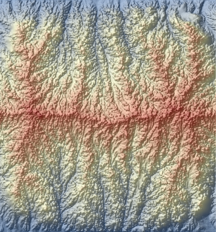
These data consist of digitial elevation models of experimental topography recorded at 5 - 10 minute intervals during a series of experiments combining hillslope diffusion and channel incision in a meter-scale eroding landscape. The data were processed from the raw returns of a SICK laser scanner; processing includes noise removal and some interpolation for missing data. DEMs of the steady-state topography for each run are available for download at http://dx.doi.org/10.5967/M09P2ZM3.
Date Last Updated:
Friday, September 25, 2015
Image:
Language:
English
Rights management:
CC-BY
Coverage:
Location:
Geolocation is 44.9823831, -93.25481289999999
Dates Collected:
Tuesday, September 23, 2014 to Wednesday, November 5, 2014
Resource Type:
dataset
Degree of processing:
1: processed